2015 Cowboy Tough Adventure Race
28 July 2015
The race started in Buffalo, Wyoming in Crazy Woman Square. The governor of Wyoming was there to meet and greet with us all and to start the race off by firing a blank from a pistol he was carrying around (let me tell you, this was no starter pistol, this thing was loud!) This prelude to the race was intended to start separating teams, and folks rushed off in multiple directions to complete the foot challenges.
Stage 1 - Foot Challenges in Buffalo
(7/16) 09:00 - 10:30: 2.7 miles
Map
We ran off to the farthest CP, which was an old telegraph station where we had to grab a telegraph for use later in the race. It was a gorgeous jog along the river in town, only taking 10 minutes or so. From there, we jogged back the way we came and went to the CP in the Occidental Hotel, where we were required to throw back a shot of Wyoming Whiskey, and then down the street to the Sports Lure to collect a bullet casing which we had to hold onto the entire race.
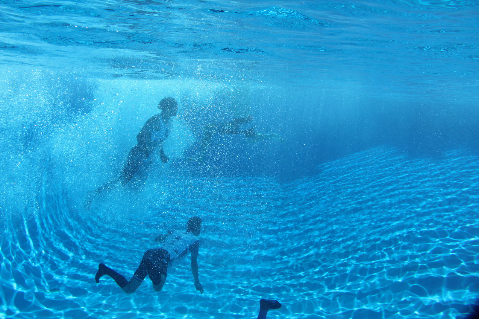
Finally, the last CP we had to hit was in the local swimming hole, and it was 12 feet underwater. Eric went in to try and snag it as I can’t open my eyes underwater, but he was having trouble getting deep enough to punch in so I dove in to feel around the bottom and get us moving back to the bikes.
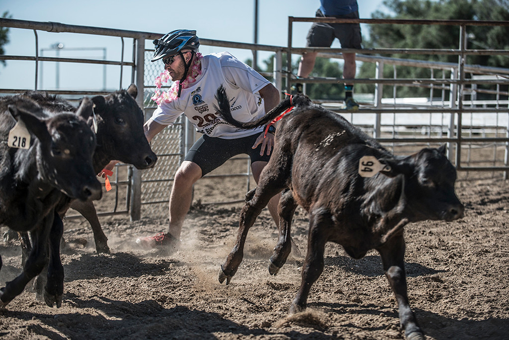
We returned to the square, jumped on our bikes, and made one last stop before leaving town at the local fairgrounds. Here, to collect the CP Eric had to jump in a rodeo area filled with cattle with ribbons tied to their behinds, his goal was to snag one of the ribbons so we could continue and he did so with ease.
We strapped back into our bikes, and headed north.

Stage 2: Bicycle to Bighorn
(7/16) 10:30 - 15:00: 30 miles biking, 2 miles paddle
Map
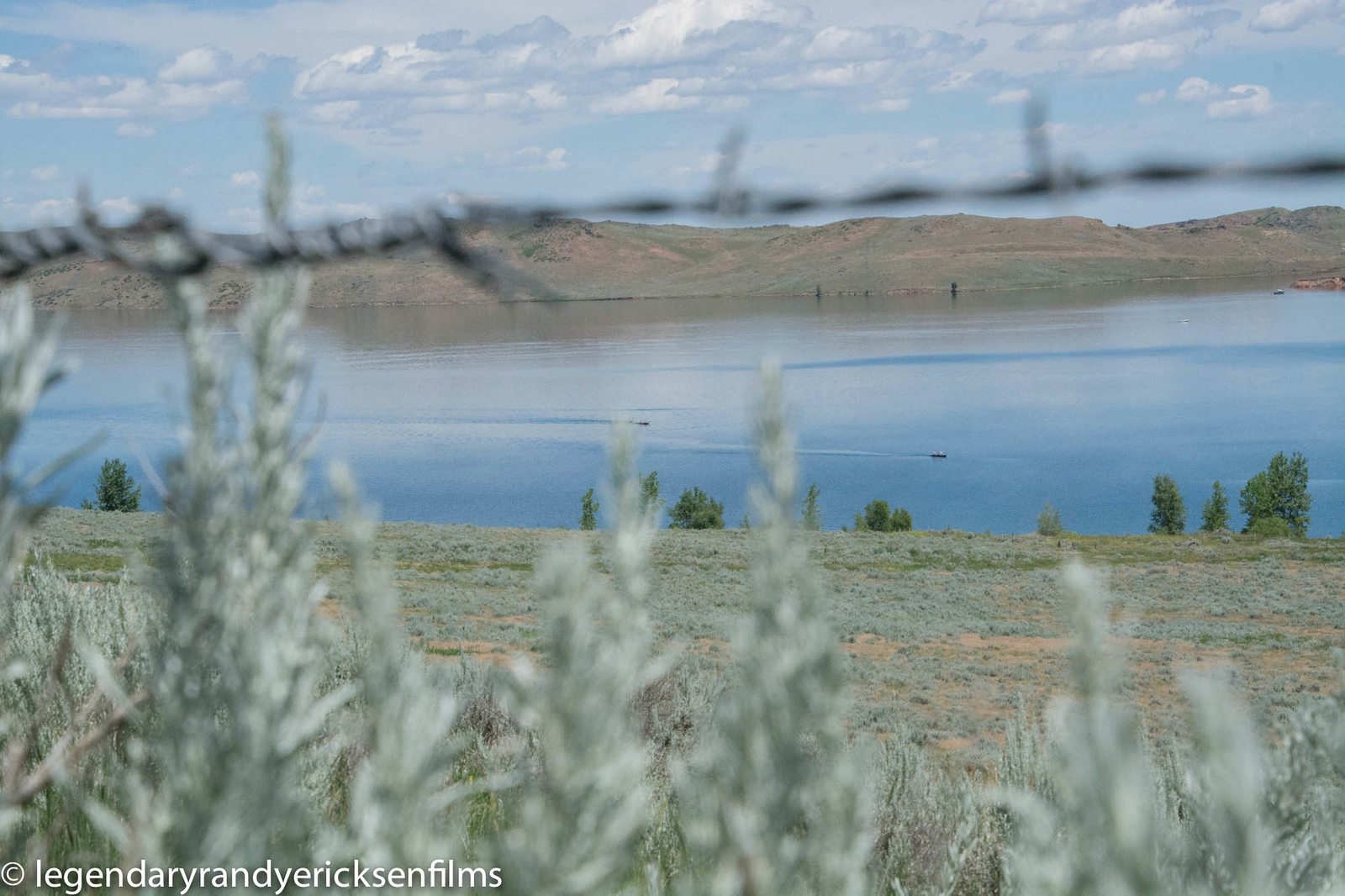
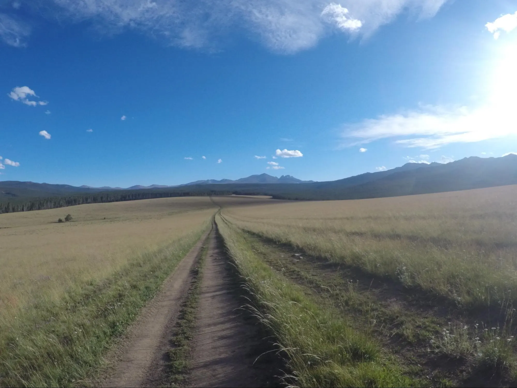
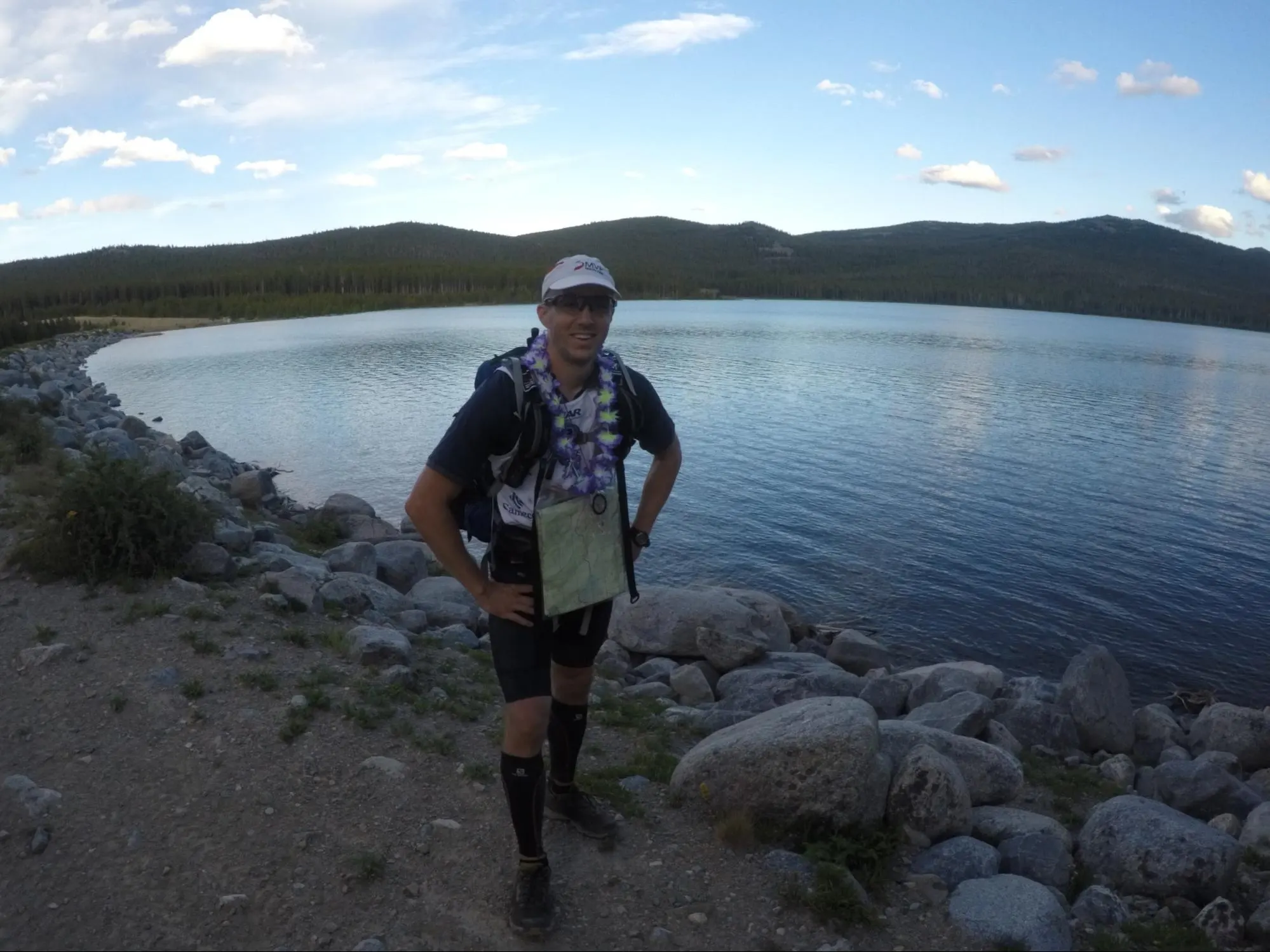
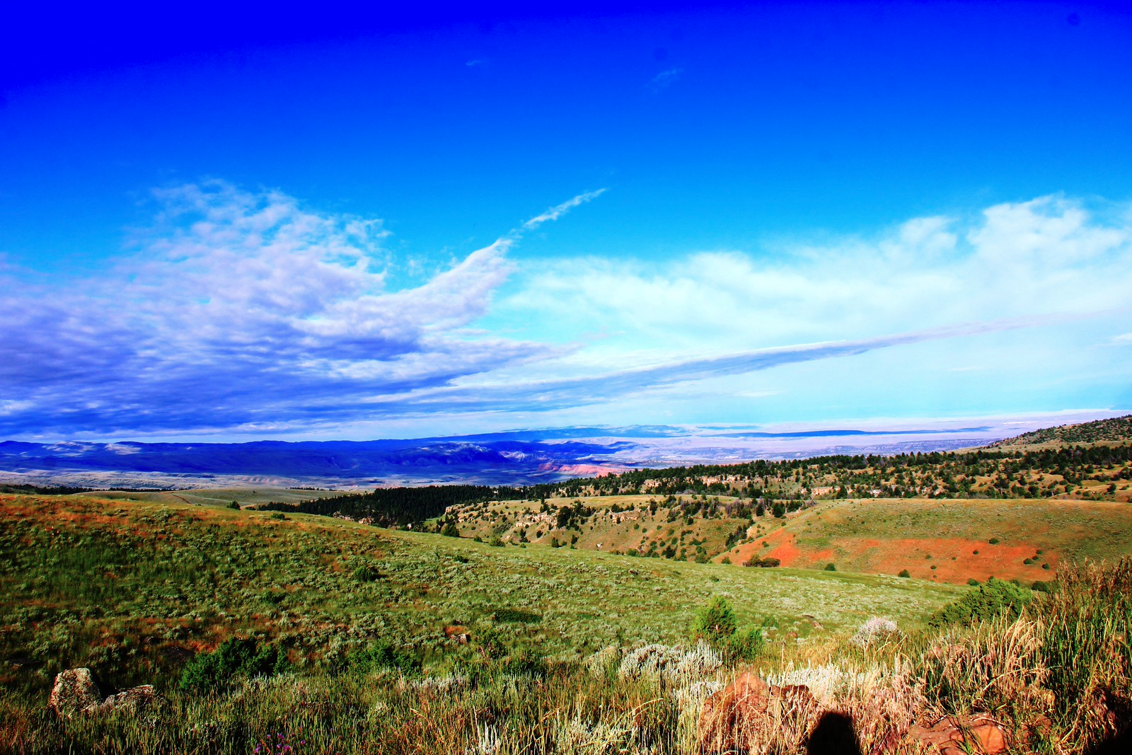
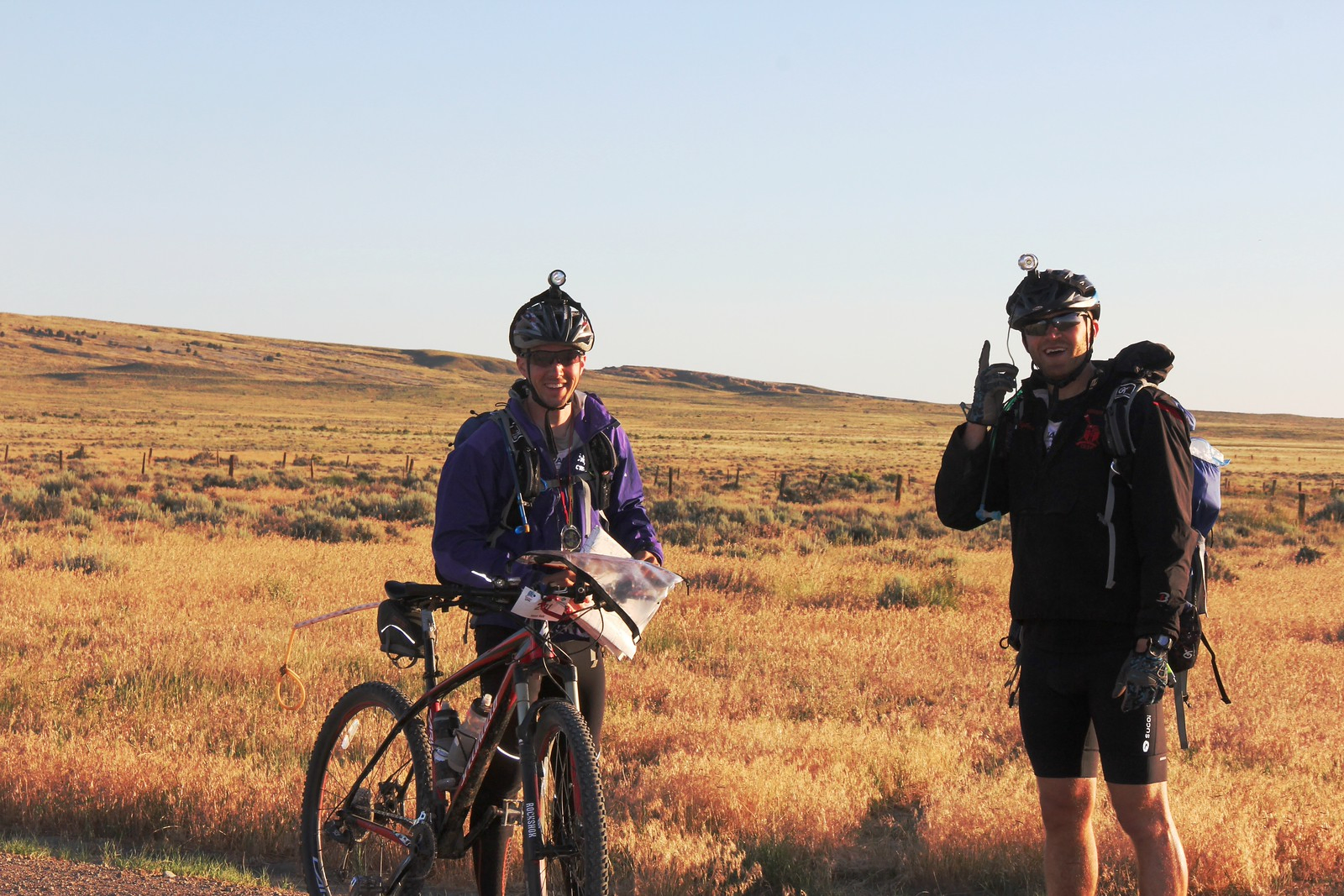
This next section was pretty beautiful, and went very smoothly. We could see the Big Horn mountain range out in the distance, and knew our goal was biking to the north-eastern tip (quite a haul, the mountains looked pretty far away!) On our way up the first stop was on a lake, on the way we collected 2 more CPs. The lake had one mandatory CP, and 3 optionals, we opted to quickly make the 2 mile out-and-back for the mandatory, and to save our energy for later in the race. Our goal was to stay on the official World Series qualifying course (which meant hitting all mandatory CPs and all time cutoffs), and gambling early on with optional points wouldn’t have been a smart move.
We continued north on bikes after the lake, and make our way to Fort Phil Kearny where we had another challenge. Eric needed to run to a small field a mile away and use semaphore flags to relay a 3 letter word back to me. This was harder than it sounds, as we had no binoculars and Eric looked like a dot on the field. Many teams were taking a one hour time penalty at this point and by-passing as they couldn’t figure out what their word was. Eric and I however nailed it on our second try! The word was RUN, fitting, given the event we were competing in.
At this point we continued on the bikes going north, and the heat was getting to be killer (mid 90’s and sunny as could be.) We hit a few more points and made it to the fish hatchery where the first major TA was located, and Eric loaded up on salt tablets since he was feeling the effects of the sun. We quickly changed into our hiking gear and hit the trails for the next stage.
Stage 3: Trek through Northern Bighorn National Forest
(7/16) 15:00 - (7/17) 005:00: 31 miles
Map
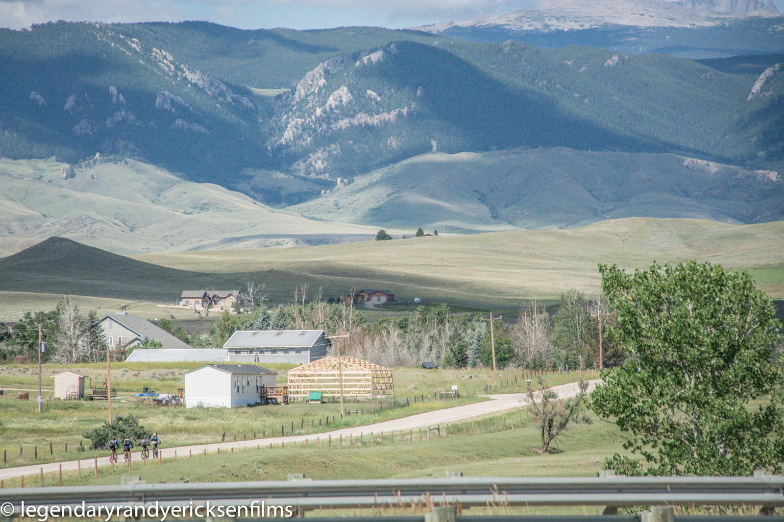
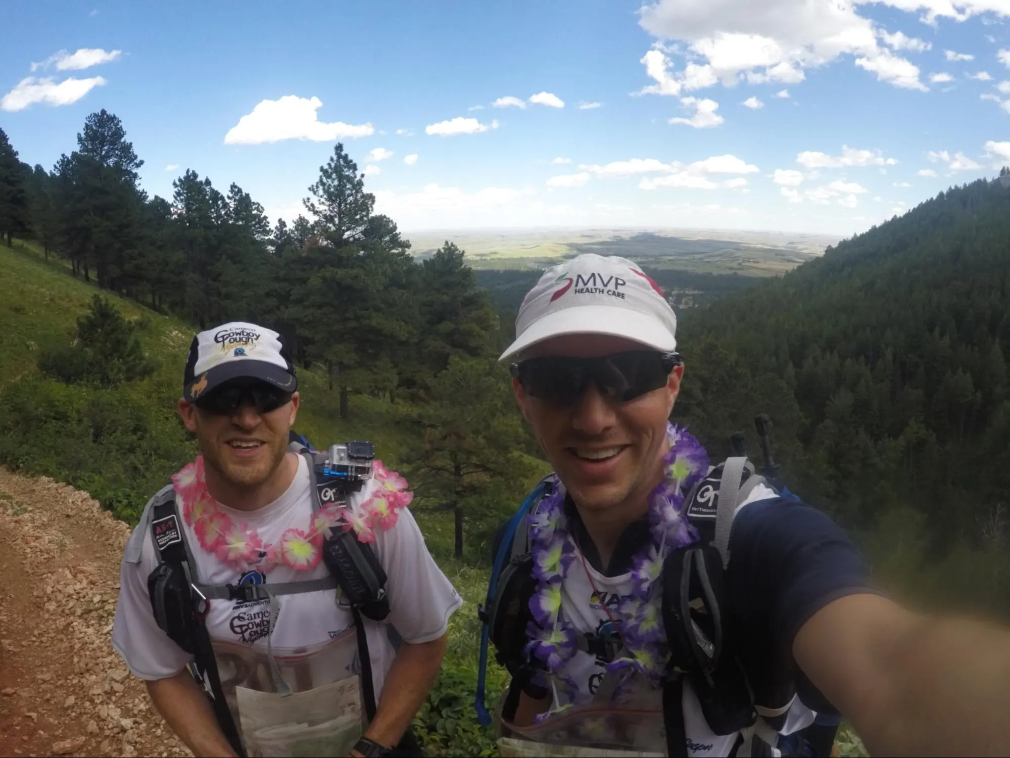
We welcomed this trekking portion as it put us in the shade of the trees, which alleviated much of the power of the sun and let us cool down a bit. We started with a pretty big uphill haul for the first 4-5 miles, but the views across the Bighorns were well worth it. Nothing too substantial here, again, we opted to skip the OPs on this leg and just focus on the mandatories, this strategy put us as one of the lead teams time-wise which let us see some of the world ranked teams in action (Technu, Swedish Armed Forces, Yoga Slackers) absolutely cranking away hitting all the optional points.
We felt pretty good going into dusk/night, with the altitude starting to get to us just a little bit (but not too bad.) We also kept leap-frogging a local team from Buffalo. They reminded me of Eric and I from the year before, as this was their first ARWS qualifying race, and they’d never done anything over a day before. They were tearing it up though and sticking with the course.
Around midnight we started to get close to Gem Lake, and this is where things got interesting. The trails that were marked on the map were most certainly not marked in reality, and we spent 15 minutes trying to find an easterly trail heading right to the lake. After realizing that it might be overgrown/hidden/non-existent, I started into full fledged nav mode. I knew exactly where we were on the map, and knew that if we took a bearing of 87 degrees we’d hit dead center of the west side of the lake within 30 minutes. Sure enough, we hit our target dead on and saw the CP on the south side of the lake.
The rest of the night continued in this fashion, as the rest of the 10 miles of trails that were supposed to exist sort of existed. Realizing that hunting for the trails themselves was a futile effort, I continually took bearings, aiming us at major landmarks a few miles away, and we stayed the line so perfectly we rarely missed our mark. In fact our nav was so spot on in this area we ended up helping Yoga Slackers find a CP they had passed which felt awesome (knowing we’d helped a team we had looked up to over the years.)
This part was also interesting (and fun) because other teams saw that we were bushwacking our way through the woods and they were hunting furiously for trails. We explained to many teams that the trails probably didn’t exist, so we were taking bearing readings instead. They asked if they could follow and I said certainly, though I can’t guarantee that they’ll end up where they might want to be, they’re left up to any mistakes I may make. They said “better than us being lost here” so by 1am we had about 4 teams following us! An hour or so into this however we were moving a bit too fast for them so we split and went our separate ways.
Our nav put us at the next SOD/EOD transition area right around 5am, which gave us enough time to try and take a quick nap before starting back out on the trail.
Stage 4: Bicycle to Muddle Creek Rappel
(7/17) 07:00 - 12:00: 22.7 miles
Map
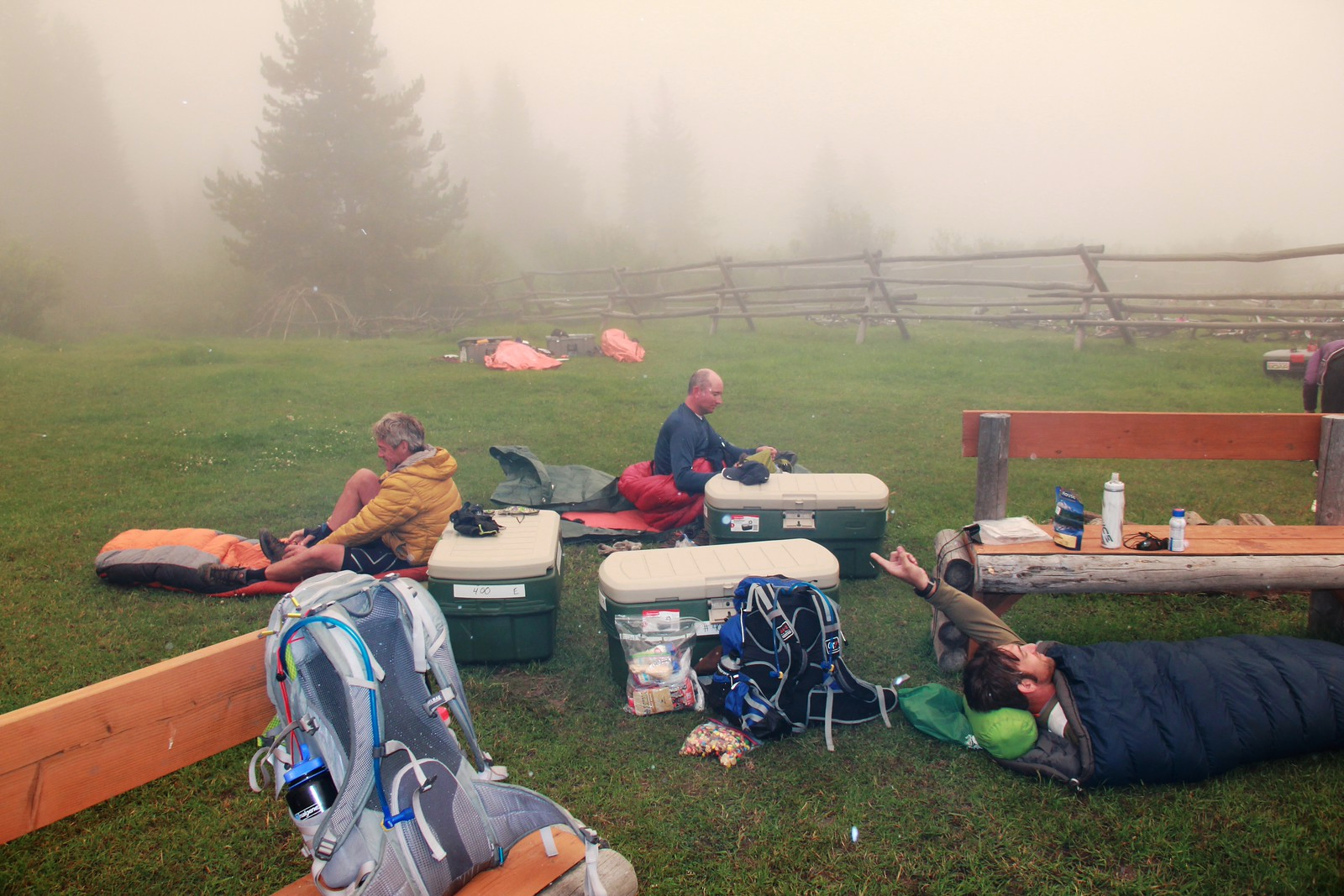
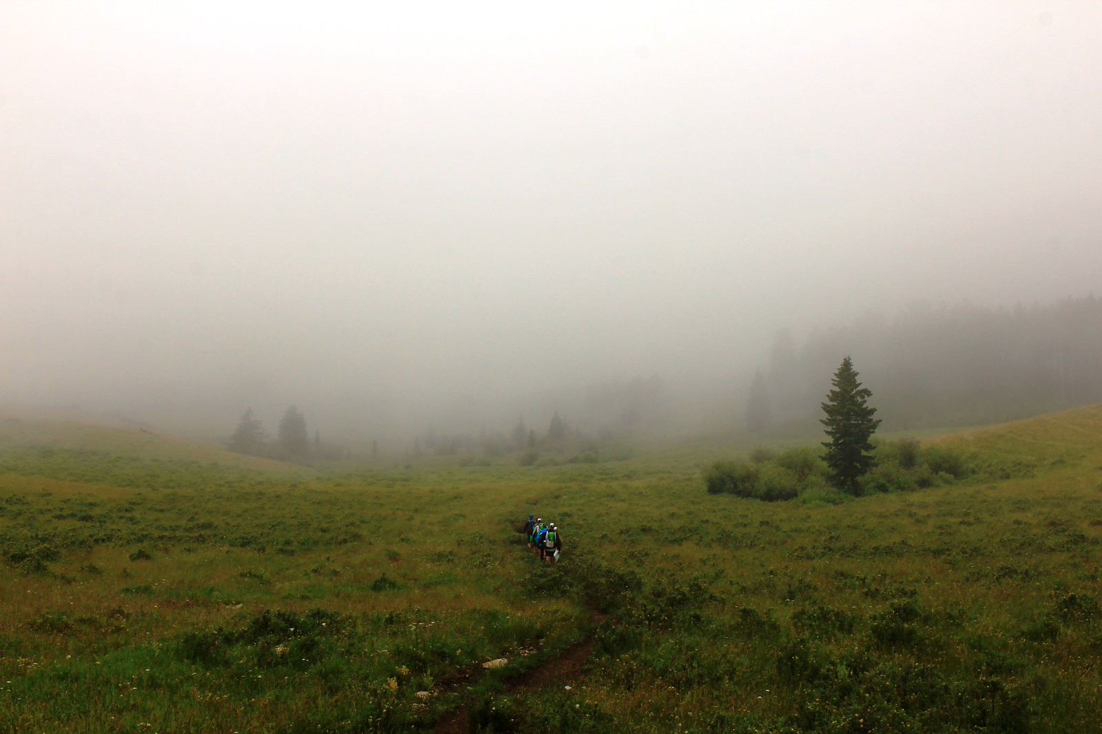
We got a fitful 30 minutes or so of sleep in our bivvy sacks before waking up to a TA completely engulfed in fog so thick you couldn’t see more than 50 yards in any direction. This was going to make things interesting to start the day (and more so for the 15+ teams that had yet to come into this area yet and were still navigating the woods.) We’d later find out that half the field would go unofficial at this point (less than 24 hours into the race) the nav was so hairy back in the woods.
We had 2 options here, a 30 mile trek to collect some OPs on our way to a rappel, or grab our bikes and head right to the rappel. We opted for our usual strategy of ignoring the OPs, and biked all the way to the rappel CP. I was bonking pretty hard at this point, mumbling nonsense and barely able to ride the bicycle. Thankfully we had our tow ropes, and Eric pulled me along while feeding me gummy worms which brought me back to reality within an hour.
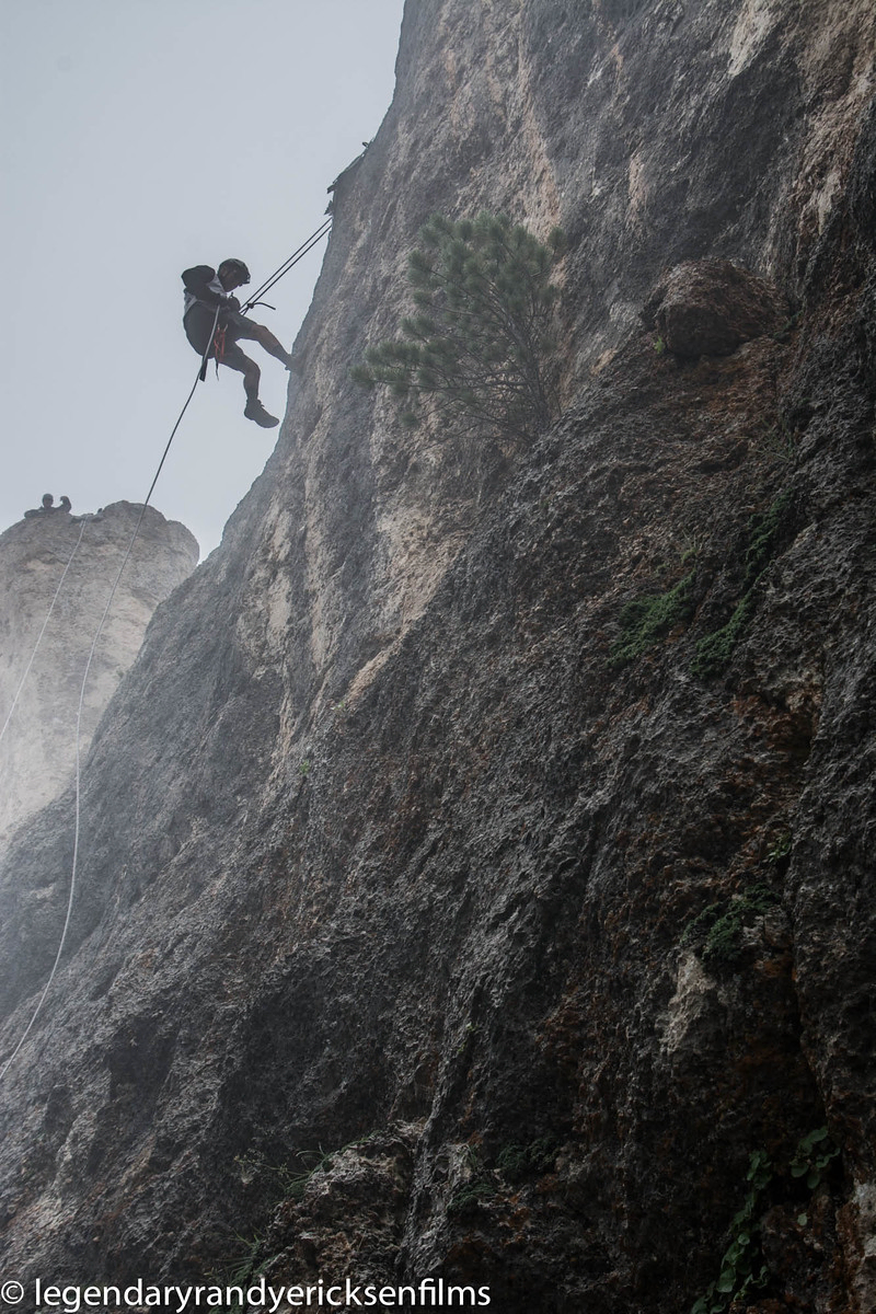
We made it to the end and hoofed it up to the top of some cliffs to grab the CP and then rappel down the back side. Sadly the fog still hadn’t lifted so we didn’t get to see some of the gorgeous views later teams did, but we were happy to be this far along the course so early. We biked back to the main road and then transitioned to foot for the next section. At this point we were also hitting some of our usual suffer-fest ailments. I can’t seem to escape chafing in my sensitive bits, but it was bearable for the rest of the race, and Eric was still facing some feet issues (bruising on the heel-pads, some blisters.) All manageable, but things we want to work more towards clearing up 100% in future races.
Stage 5: Trek through Southern Bighorn National Forest
(7/17) 13:00 - 21:00: 22.6 miles
Map
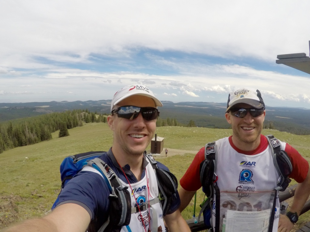
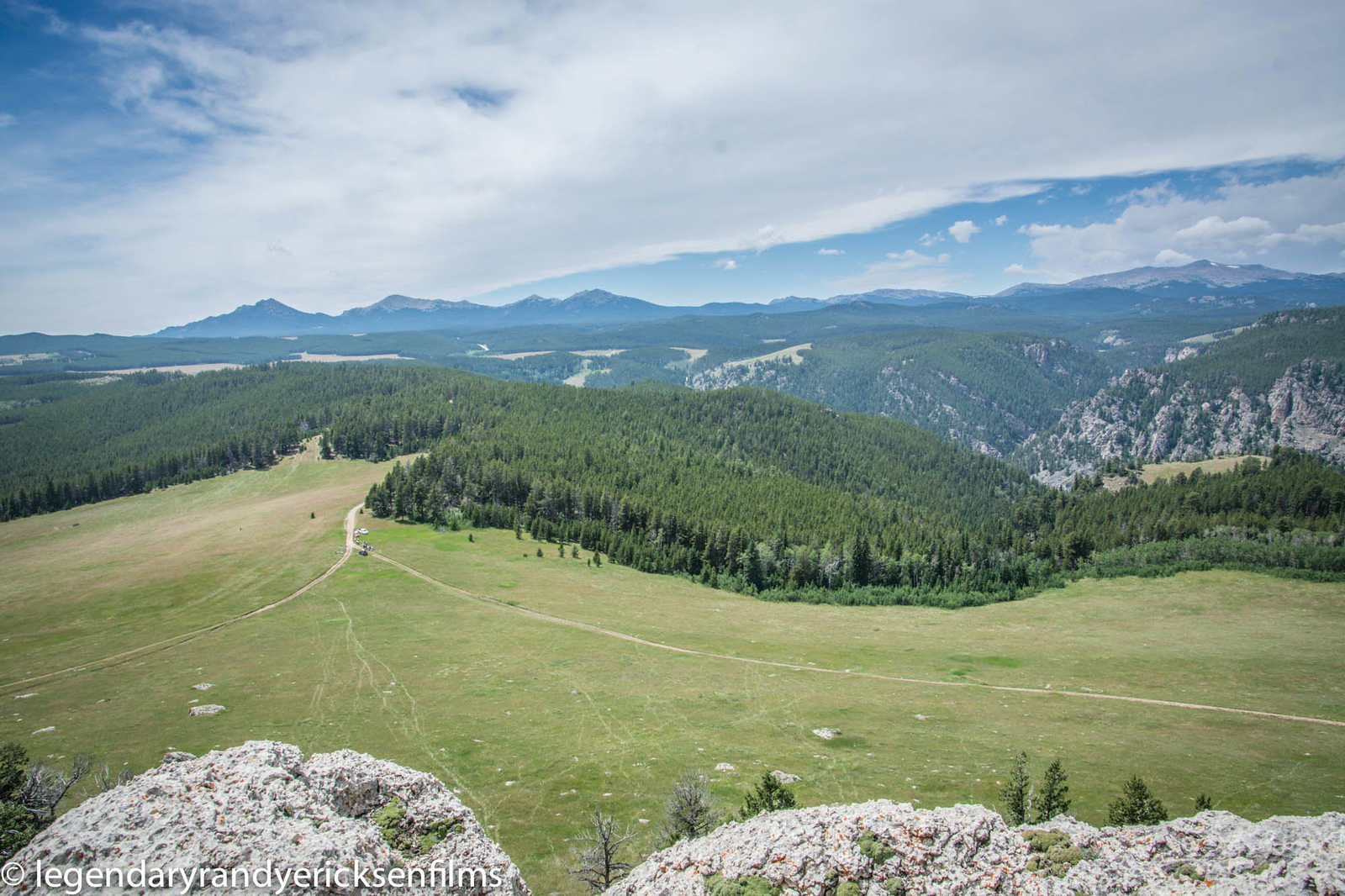
This was another good trekking section going through the southern Bighorn mountains. Our maps showed some ATV trails leading to CP30 which we quickly realized didn’t exist, so we stuck to our “take a bearing and go a few miles” approach which got us to the next set of CPs pretty quickly. CP31 was at the top of a 10k foot mountain with some absolutely spectacular views, but once again the heat started kicking in and was a killer. We actually saw 2 people on other teams straight up collapse from heat exhaustion and need med help before continuing on (both teams recovered and made the push to the end which was amazing.)
After more bushwacking we started a big trek from CP32 -> CP33 which crossed a giant plain on top of a mountain range at 10k feet, and the weather started to get wacky. Temps quickly dropped 20+ degrees, hail storms were coming in, and lightning was everywhere. This slowed up our approach to the next CP, and we were so tired we weren’t paying close attention to the distance we were traveling. Because of this we thought we had gone much farther than we actually had, and it took 3+ hours to nail this next CP as we had to recalculation our position on the map several times.
Finally we hit CP33 and started the trek to the next TA, hitting an optional point on the way down (woo hoo, our first OP!) We got into the ski lodge around 9pm, just as it was getting dark out, and prepped for the next leg of our journey.
Stage 6: Bicycle to Middle Fork Powder River Campsite
(7/17) 22:00 - (7/18) 14:00: 73.5 miles
Map
The start of this leg was spectacular, about a 2,000’ drop over 4 miles, which allowed us to just cruise on our bikes without pedaling at 35 - 40mph down paved roads. Little did we know the fun was just about to start.
There’s not much for me to say about 11pm to 4am, other than it sucked and it went straight uphill. We had a 3,500’ climb over 8 miles, and we could constantly see lights from other bikers in the distance well above our location which just served as a soul crushing reminder that we were no where near our destination. We had to reach the next TA by 10am to remain offical, and we learned that another 7 teams went unofficial after the last hiking leg (and 5 DNFed and dropped entirely.) This course was hard.
We felt fairly good getting to the top of this next mountain range by 4:30am, and started to make our way south. We had 30 miles to cover in ~5 hours, and we made a critial nav error. We made a turn about ½ mile earlier than we should have, which put us in an unknown spot on the map, and we lost ~90 minutes literally dragging our bikes up and over mountains to try and find the correct trail. We eventually backtracked (thanks Eric for forcing us to do this) and then found our way back, but at this point the writing was on the wall. My brain was bonking pretty hard from 30 minutes of sleep in 50+ hours, and we still had 30 miles to go in less than 3 hours, and we knew we wouldn’t make the cutoff. It sucked, but we vowed to hit that next TA and then see where we would get short coursed to.
This next biking section was awful too, it was constant steep ½ mile uphill climbs, then bumpy downhill rides, then ½ up, then down, rinse and repeat for what ended up taking us 6 hours to hit the next TA, and 4 blown tires (we would later learn that the cactus were destroying all of the bikers out there, just these little ones that were hard to see so you constantly ran over them.) We were so tired at one point we just fell asleep for 15 minutes in ditches on the side of the road, and wilderness rescue drove by and woke us up to make sure we were alive (this is how awful we must have looked). I crashed the bike once, almost crashed it right into Eric a second time I was so tired I was just falling asleep while riding.
Finally, we made our way into the TA, at 2pm, and were given short-course options. Rather that take another 40+ miles on bike to the next TA, we’d be transported there and would be able to start tackling the rest of the race. Eric was so tired he fell asleep mid-conversation with the race coordinator who was driving us. Yeah, we confirmed for scientific purposes, 55 hours the breaking point without real sleep…
Stage 7: Trek to O-Points on Willow Creek Ranch
(7/18) 17:00 - 20:45: 5.1 miles
Map
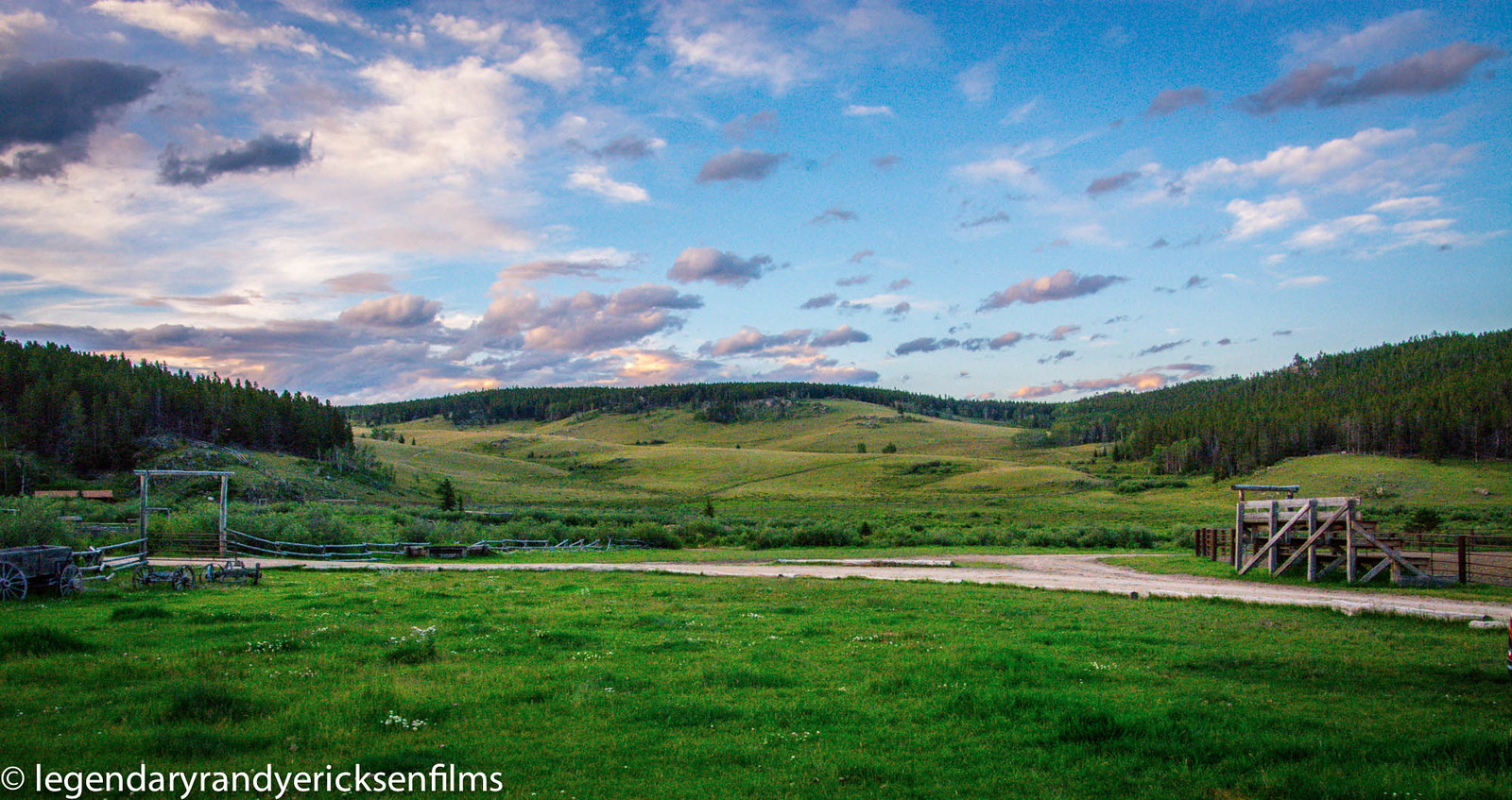
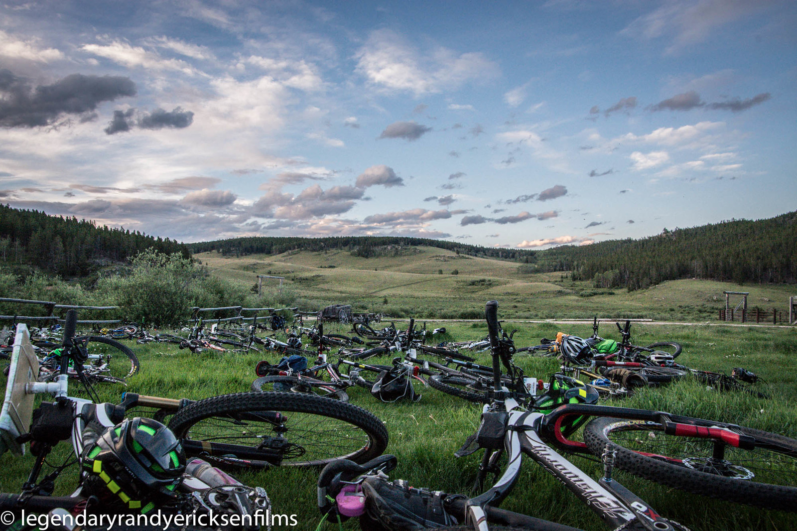
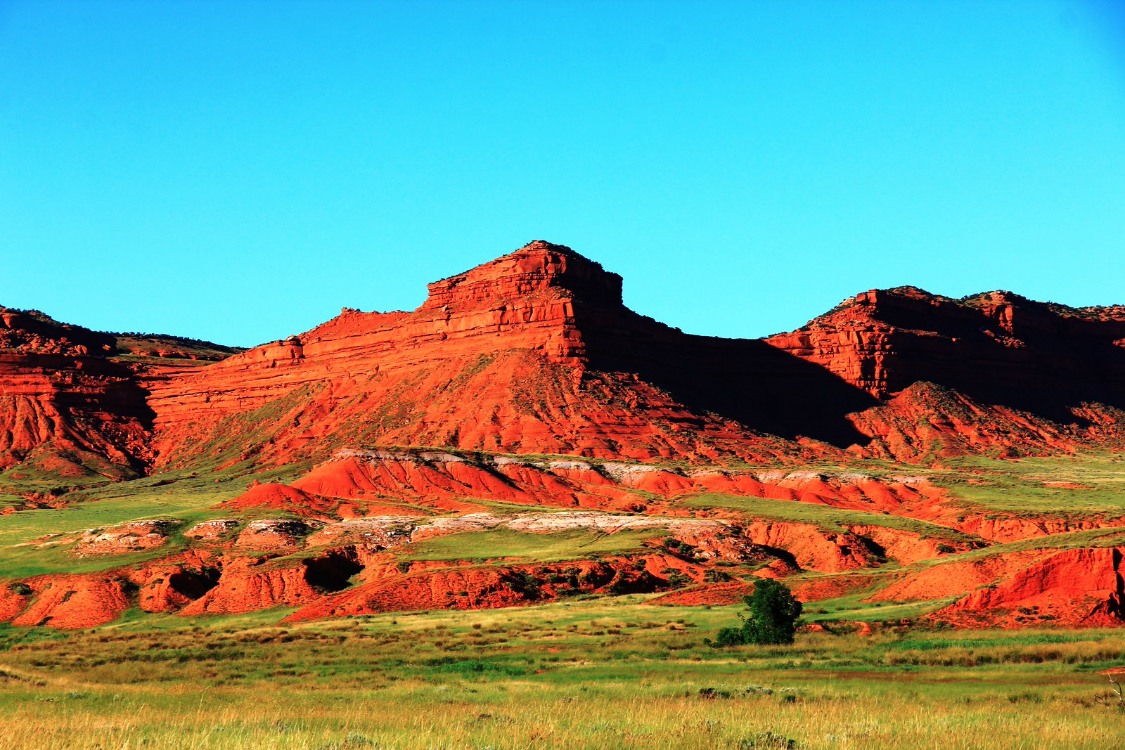
This section was pretty awesome. We made our way to this fantastic little dude ranch on 64,000 acres of land and pitched our tent to get some actual rest since we were literally falling asleep while talking to people. We got about an hour of rest and then started assembling our gear for this orienteering section. We headed out and snagged 6/8 OPs on this section, which had some absolutely beautiful scenery and wildlife all around.
On our way back to the ranch it was pretty humorous as we had to pass through lots of horses, all of which must have smelled food on us or thought we had food, because they followed us all the way back to the ranch gate (I’m talking like 20 horses following us around, it was pretty funny looking.)
Arriving back at the ranch at 9pm, we snagged some burgers that were being cooked up for the incoming racers, and then started to prep all our gear for the morning so we could basically get up and start moving. Finally, we were able to settle down in the tent at midnight for a few hours of actual rest before the final push.
Stage 8: Bicycle to Casper, WY
(7/19) 04:00 - 10:30: 70.5 miles
Map
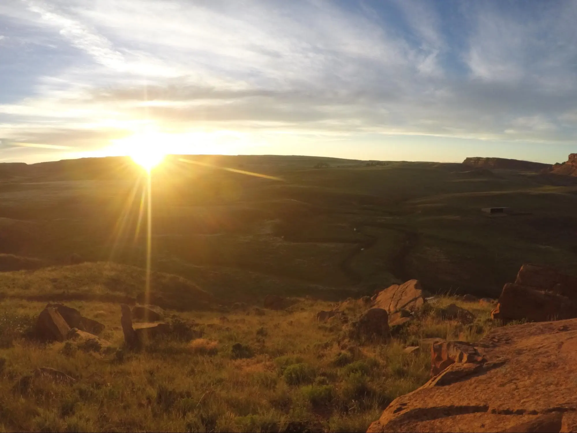
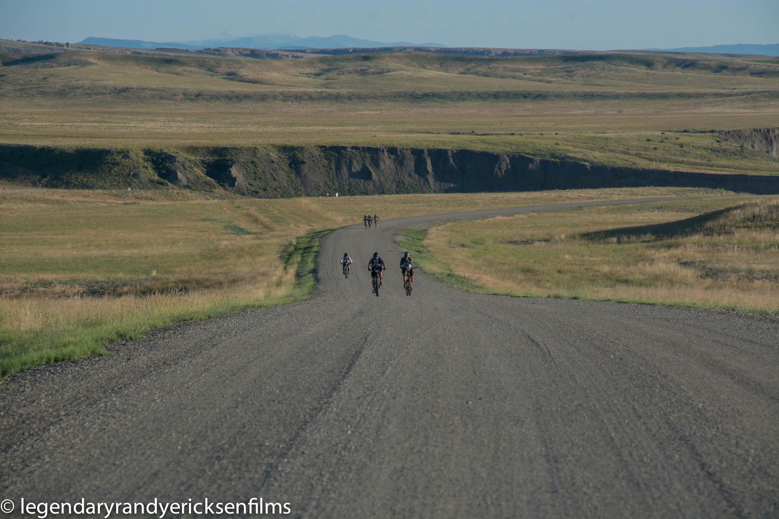
At 3am we woke right up and started breaking down the tent and the last bit of our gear. We grabbed our bikes and were on the road at 4am sharp. This was just about the fastest 6.5 hours of biking I’ve ever experienced in my life, and it was a good thing we were going to the finish as our gear really started falling to pieces at this point. My front derailleur was pretty toast, and 80% of the time when shifting to the big gear it would fall off, and it refused to drop to the lower cog without me manually moving it with my toe. Eric went into pure silent beast mode and let me hook onto the back of his bike for the tail end. However, the tow rope broke with 15 miles to go, but rather than fixing it we opted to just keep moving and I would hold the rope above his back tire as we continued to pedal.
We came into the final TA around 10:30am, more than enough time before the noon cutoff, and were greated by a huge crowd and the race clock (which entertainingly had days listed on it, in addition to the usual hours/minutes you see on race clocks.) We dumped our bikes, grabbed our whitewater gear, and started the final trek…
Stage 9: Hike to whitewater and finish
(7/19) 10:30 - 13:00: 6.0 miles
Map
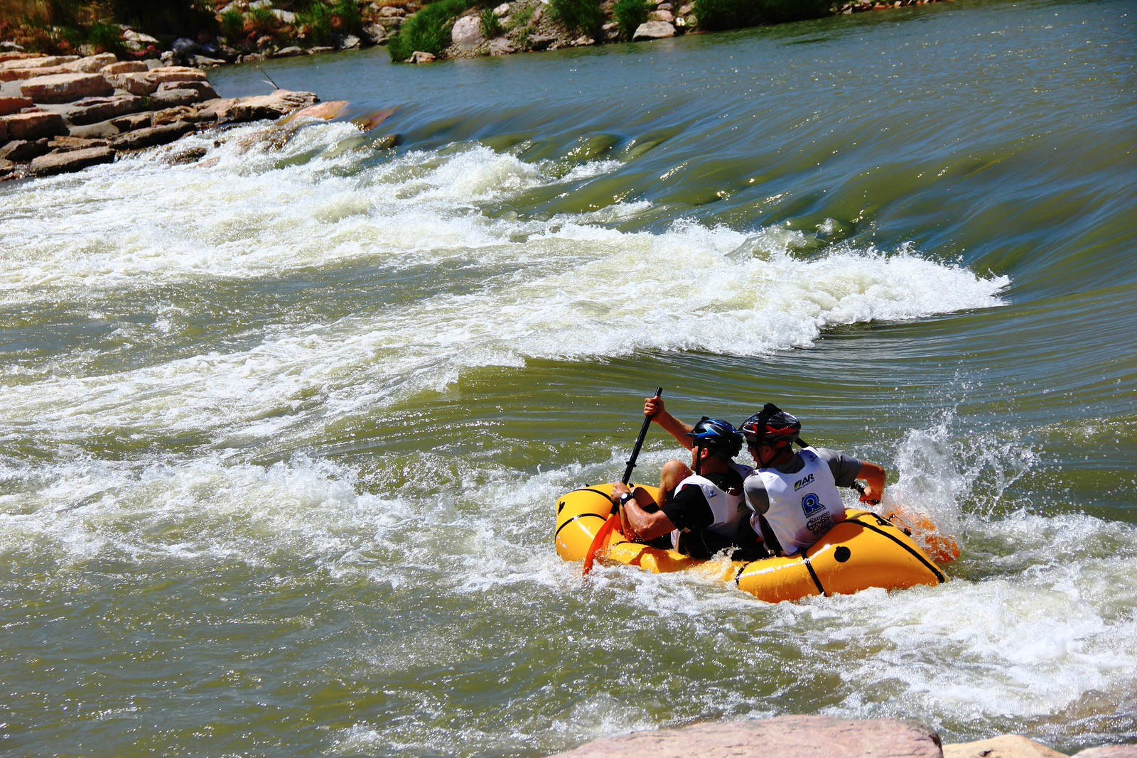
This last section was basically fun relief. We had a 3 mile walk upriver through the town of Casper (boy was it nice to be back in civilization!) Once upstream we blew up our packraft to hit the whitewater on the way back. Teams could do whatever they wanted in this section, but we decided that a single packraft would be our lightest option, and could hold both us of + gear. Some teams used inflatable mattresses, some used boogie boards, and a bunch of others used pack rafts as well (it was definitely the superior option.)
We hit the whitewater and cruised through the first 3 rapids picking out great lines, but when we hit the 4th we flipped right over and had to swim to shore to right ourselves and empty the boat before continuing on. The water was absolutely frigid at 50 degrees, and took the air right out of our chests. I could not have imagined doing this on boogie boards, and sure enough many of those folks were med-tented at the end so they could warm up.
We made it the rest of the way downriver without incident, and ran to the finish line with our raft in tow, finishing a 4th day of adventure in the great outdoors!
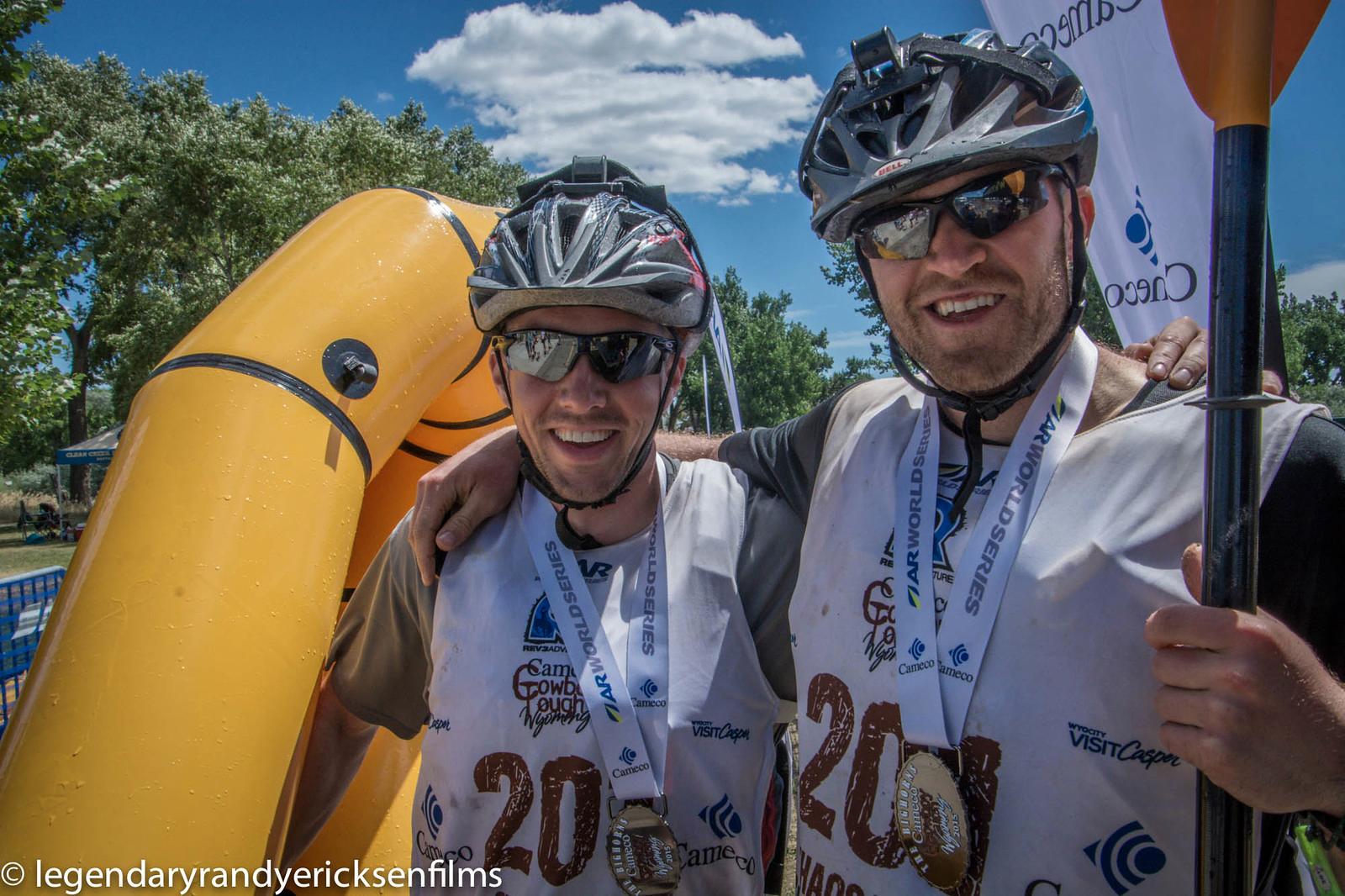
Even though we ended up unofficial on the World Series qualifying course, we learned that not a single team in our division stayed official the entire race, so stacked against our competition we pulled down a 2nd place finish in our division! After the awards and 3 plates filled with delicious BBQ lunch, we went back to the hotel for a much-earned shower and to pack up all our gear for the flight out the next day.
Looking forward to the next world series race, our goal will be to stay on so we’re ranked on the world qualifying rankings!
