2013 Frigid Infliction
01 March 2013
Resources
Pre-race
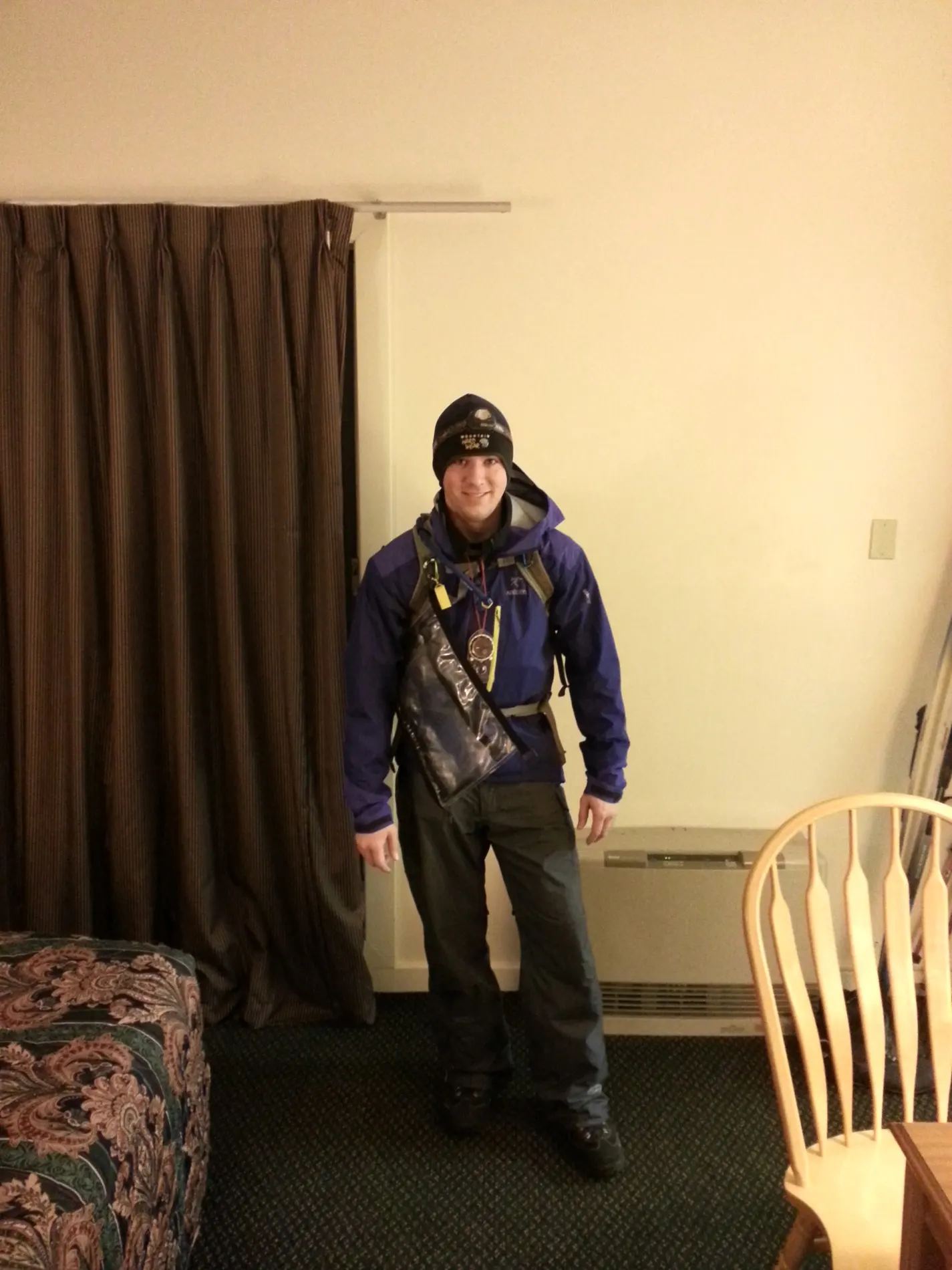
We woke up bright and early on Saturday morning, 3:15am, to prep for the race. We had packed pretty much everything the night before, so all we had to do was put on our race clothes, have a quick protein bar for breakfast, and then head on down to the Nordic Center for check-in.
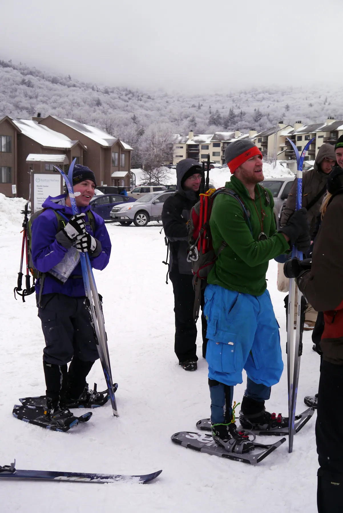
We got down right around 4:10am, the maps were going to be distributed at 4:30am and race start was 5:00am sharp. When we showed up they announced that the first dicipline was going to be XC-skiing, so we had to change out of our winter mountaineering boots into the XC shoes we rented the day before. We didn’t want to have to carry our hefty mountaineering shoes, and asked if they could be left at the TAs where we would be switching to and from skis. Unfortunately, the only thing we’d be able to leave at certain set TAs along the course would be the skis themselves, everything else would have to be carried with us (poles, boots, snowshoes, etc.)
We realized that hauling around an extra set of boots all day long, and switching to and from those boots at various TAs would probably kill both our time and speed, so we opted to just race the entire day in the XC boots. They were waterproof and insulated, and asking around just about every other team was doing the same thing. I quickly ran back to the hotel to drop off our other boots, and came back just as maps were being distributed. This again, was where Eric and I started to enter “oh my god” mode.
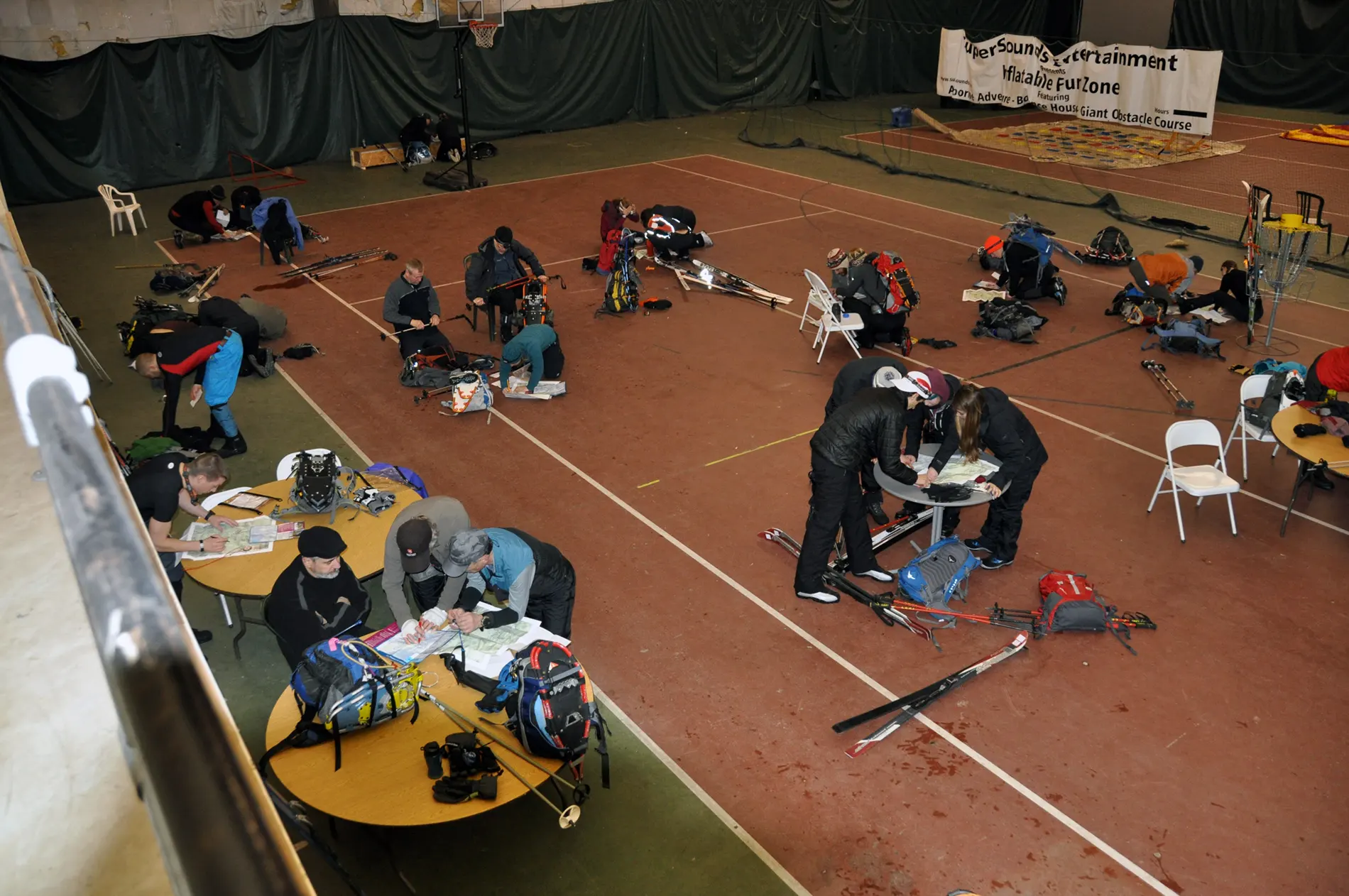
Usually, when we get our maps, they’re full trail maps pre-plotted with checkpoints, or they’re full trail maps and we get a second sheet with lat/long coordinates or UTM coordinates. It makes it easy to use a single map to view both the trail systems and the CPs we need to hit. In this case, we received a standard topo map (without trails) with the CPs marked, and a separate trail map from the resort (without CPs, but a small amount of contour lines.) To make things worse, one using UTM coordinates and the other lat/long. Eric and I knew the best thing to do would be to try and match up the contour lines on the topo map to the trail map, and plot the CPs on the trail map itself.
Eric started doing the last bit of gear prep we needed, while I worked on the CP translation, which actually wasn’t too awful when paired with the clue sheet we received. After plotting about half the points, and figuring out what our route would be, we grabbed our skis and headed outside to the start line.
Start - TA1
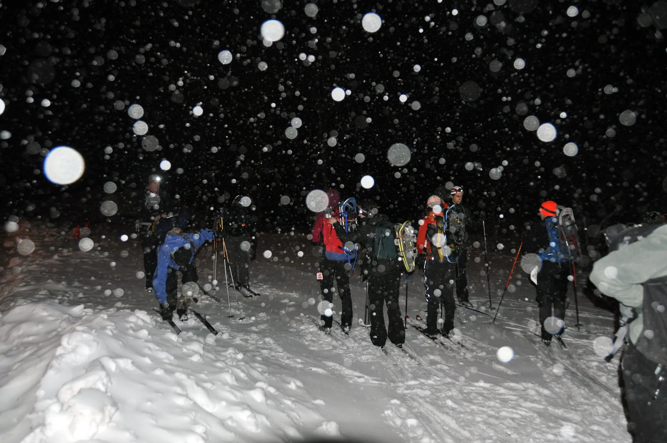
It was a balmy 26 degrees outside, which would only go up a couple of degrees as the day went on. We felt pretty comfortable, and had our route for this first section locked in. We had to collect CPs 1-3 in any order, and then return to the lodge to transition off to snowshoes. It seemed our best bet was to make an early climb up to CP2, then ski down to CP1, then back past the lodge to CP3.
The race started and off we went. I had never used XC skis before, and was worried that I was going to completely suck on them, but they were surprising easy to handle. I flew off across the parking lot to the first trail, and realized Eric struggling a bit to catch up. He was also a beginner on these skis, having only used them a handful of times before. He quickly got the hang of them and caught up, and we flew off across the first set of trails to the first junction where we’d head northwest to CP2.
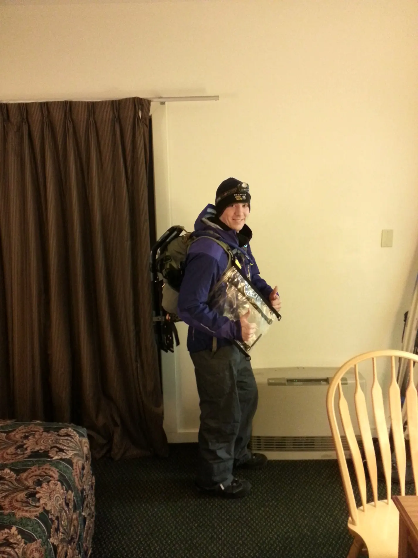
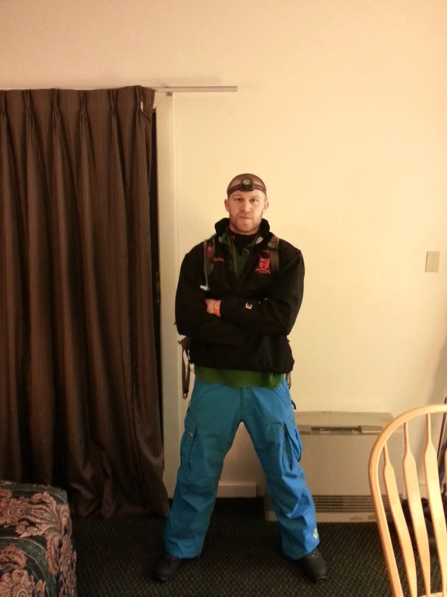
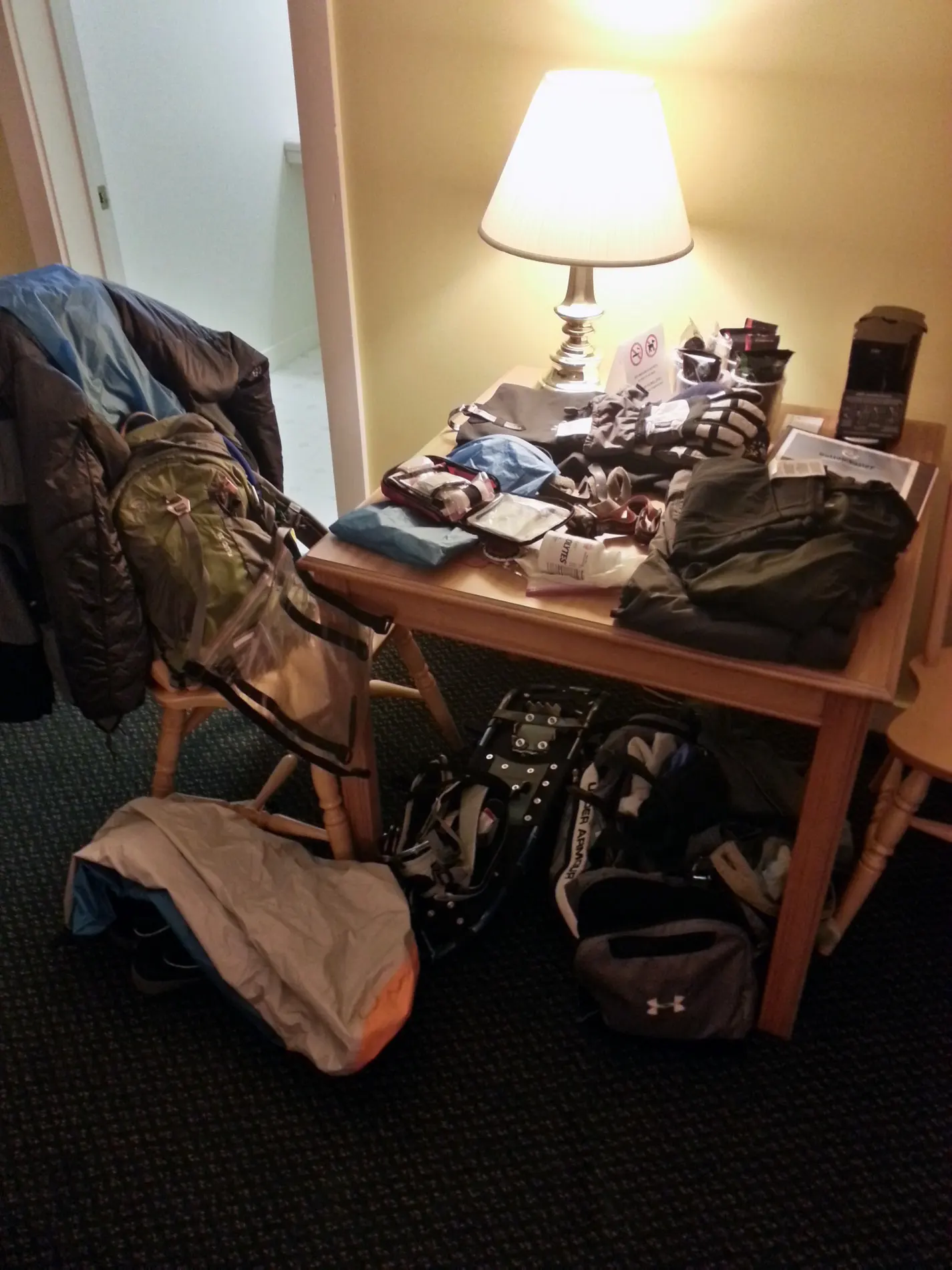
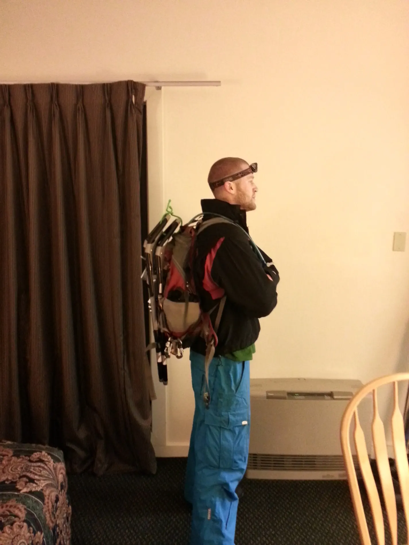
At this junction, there were a number of teams just waiting for teams ahead of them to move. It seemed like several teams were having some serious issues on the skis, and it was causing a massive slowdown. Rather than wait behind other teams and followed their lead, Eric and I broke trail down a side path that would lead to CP1, then circle back up to CP2 and hopefully the traffic jam would be cleared. This worked really well, since CP1 was much less crowded, but Eric was finding that controlling his skis was an exercise in frustration. He kept having some spectacular wipeouts, which he just kept laughing at, got up and kept moving, only to fall about every 100 yards or so. It slowed us down a bit, but we cruised back up to CP2 and again found it with relative ease (no traffic jam this time.)
We were roasting at this point, so we stripped down some layers to continue the race. It’s funny how little you can wear in that weather and still feel perfectly comfortable. Eric wore nothing but a fleece jacket on top for the rest of the race, and I wore a light long sleeve shirt paired with an ultra-light hardshell. We were perfectly comfortable for the rest of the race.
We then started moving back to CP3, and I knew there was a shortcut on the map back to the lodge through some backcountry trails. It about 200 yards of steep backcountry, and I flew down crashing only a few times. Eric wasn’t having as much luck, and ended up just ripped off his skis and walking down with them. This, unfortunately, had the side effect of freezing the bindings on his way down it was so cold out, and we spent about 15 minutes spitting water into the bindings to defrost them and get the boots back in place.
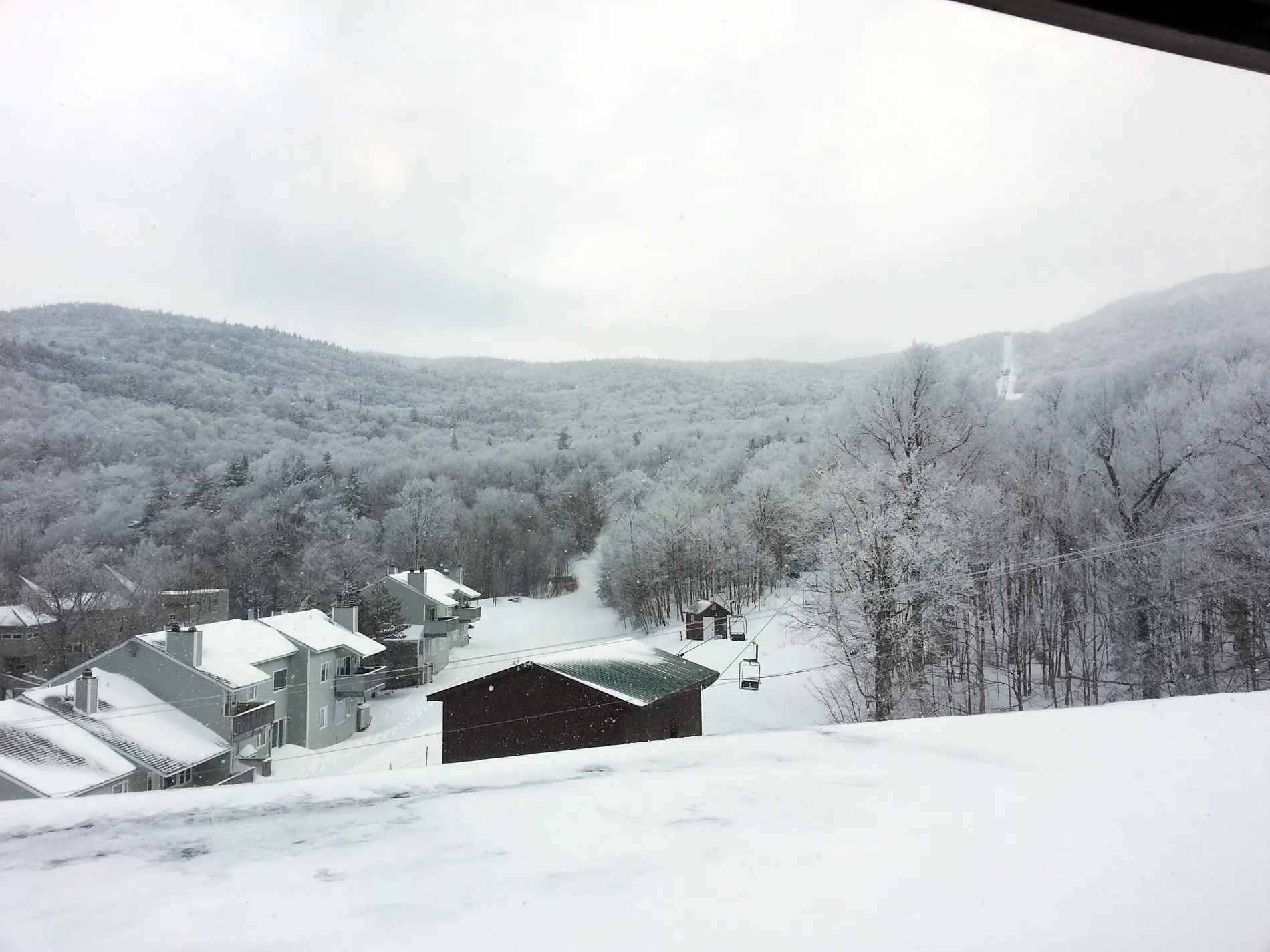
The rest of this trek was pretty smooth, we flew down to CP3, then trekked right back up some really beautiful switchbacks. The sun was coming out so it was getting nice and bright, and it was snowing out. We got back to TA1, had a quick bite to eat, and changed into our snowshoes for the next leg.
TA1 - CP6
The next section involved getting CP 4-9 in any order, and there seemed to be a pretty good route we picked out. We’d trek back north to CP1, then take the Upper Maple Loop trail to Middle Maple Loop and then to CP5. CP5 was due west of CP15, which was marked as being trailside and based on my conversions should be right on the Telemark trail. After hitting the telemark trail, I realized I made an error, and went due north on the trail looking for the CP. After going about 5 minutes in that directions, there was no CP, and we figured that it was probably south from the trail junction, not north, so we cruised back to the junction and went south, and there was CP15 about 100 yards down the trail.
Eric was having some more gear troubles on this leg. The back strap of his snowshoes kept coming loose and slipping off his heel. Eventually he had to pull out some extra straps from his pack to help hold the entire thing in place, a solid solution to the problem and held up pretty well over the remainder of the race.
This is where we learned an interesting lesson. CP5 was a short distance west of our current position, and we saw a number of snowshoe tracks from other teams that had broken trail coming through this area. We thought, “Oh great, we won’t have to break trail ourselves!” Unfortunately, following these tracks just led to a big area where teams before us had trekked all over the place trying to find the CP, and we kept trying to follow their tracks to locate the CP ourselves. After 15 minutes without finding anything, we realised (as we should have from the start), that we shouldn’t trust that other teams to know where they’re going, and we should trust our own nav skills. We re-orientated ourselves, and started breaking trail in the direction we assumed CP5 would be on, and sure enough we saw it in the distance!
Worth noting that the “clues” for some of these checkpoints were fairly useless given the conditions. The ones that stated “trailside” or “trail junction” were great, but the ones that said “near large rock” don’t really help when everything is covered by 24” of fresh powder, and you can’t tell a rock from a snowdrift from a small shrub, so we were heavily reliant on our compasses.
After punching into CP5, we headed north to a hairpin turn in the the trail, north of which we plotted CP4. Sticking to our guns, we ignored some snowshoe trails that were going in all sorts of directions, and went northeast breaking trail up a steady slope on our own. We didn’t find CP4, in fact, the only thing we found were at least 10 other teams also trekking all over this area trying to find the same CP. After about 20 minutes of sheer frustration, I looked at the map and realized I made a mistake plotting out this point, and it was about a quarter mile west of where I thought it was, and better accessible via another trail.
Since Eric and I actually had no idea where on the map we really were at this point, we just pointed ourselves SW knowing we would eventually hit one of the two trails we needed. Then, like magic, we stumbled out from a steep, dense hill, only to find CP4 directly in front of us. Nature has an interesting sense of humor, and we couldn’t help but laugh. After punching in, we hit the Goat Path and followed it south to the intersection of Middle Maple Loop, and again, we knew that CP6 was due west of this location.
We broke trail at this point, and if you look at the map, you’ll notice that CP6 is directly at the top of a rather large hill, and so we climbed. Breaking trail is hard enough, breaking trail in fresh powder which covers ice, while climbing at about a 50 degree incline, is damn near impossible. We used everything we could to get up this slope, pulling on trees, planting the crampons of the snowshoes as deep into the hill as possible, but it was a 2 steps forward one step back ordeal. Finally we reached the top, and popped out 10 feet from the checkpoint. After punching in, we slid right back down the same path we came up, and got to the bottom in about a tenth the time it took us to climb.
CP6 - TA2
Now we had to hit CP7, CP8, and CP9, and we figured doing it in order was the best approach. CP7 was just west of CP3, so we figured if we made our way back to CP3 we’d easily find CP7. There were two options to get there, make a giant loop north, across a bridge, then back to CP3, or take a more direct route and simply cross a river to CP7. Rather than lose 30 minutes of backtracking, we went down to the river. The river was covered in snow, some spots which looked like they were 18” thick, but clearly suspended over running water below. We found an area that looked like there were rocked underneith, and I used my ski poles to poke the snow to make sure there was a rock and that I wouldn’t just fall through into the water (only about a foot deep, but would have put the rest of the race in jeopardy if I got soaked.) I found a solid path across, made it safely, and Eric followed. We climbed the hill on the opposite side, quickly found CP3, and the immediately found CP7 right along the river a bit south of where we crossed.
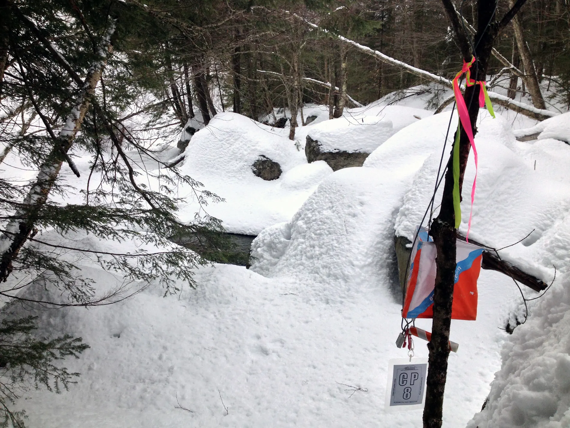
Now we had to venture down to CP8, which was about a half mile south, also along the river. Some teams had clearly been through here before, and had actually flattened out a nice trail right on top of the snow on the river, which we opted to follow right to the CP. If we were the first team here, we definitely would NOT have taken this route. There were body sized holes in the snow where it had caved and clearly dumped people into the water below, so we VERY carefully stuck to the path, not wanting to get wet, and sure enough this led us right to CP8. It was pretty cool walking along the river the entire way, but if we were first we would have climbed up the ravine and broke trail on the safety of dry land!
From CP8 it was an easy shot due west again to a series of intertwined trails that had CP9. It took a small amount of searching but we found it with relative ease, then we stuck to the trail system to head south, the up to The Ponds where TA2 was located, we came in right around 11:45am.
TA2 - TA5
At TA2 we fueled up with more food, and took off our snowshoes to prep for the post-holing section (walking with just boots on - which makes breaking trail a “unique” experience.) We jogged right back the way we came and picked up CP10, then crossed the road south to try and tackle CP11/12. It was here we had to make a choice, the time was 12:10pm, and the cut-off for TA3 was 1:00pm. CP11 was located farther out that CP12, and the rules for this section dictated that we had to hit them in order. It seemed like we would be cutting it extremely close to the cutoff if we went for 11/12, and decided that we’d skip them and get more CPs on the rest of the race.
This proved to be a good decision, since we discovered it took other teams about 45 minutes, with perfect nav, to hit those two points. We would have been cutting things WAY too close.
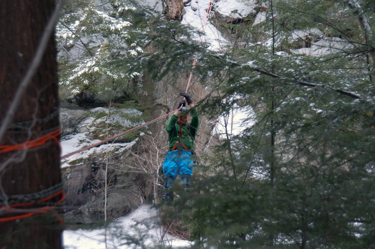
Onward we went to TA3, where we were faced with an interesting challenge. TA3 was on one side of the river, TA4 on the other. The ravine was about 70 feet deep, and there was no way to safely get down and scale the other side, so instead there was a ropes course set up. Our task was to strap in and perform a Tyrolean Traverse across the ravine to reach the other side. Donning our harnesses, and with the skillful eyes of Petra Cliffs Climbing Co (who set up the ropes), we strapped in and started the 150’ traverse. This was wicked cool, the snow falling, pulling yourself along the line, seeing for quite aways both up and down river. Tons of fun!
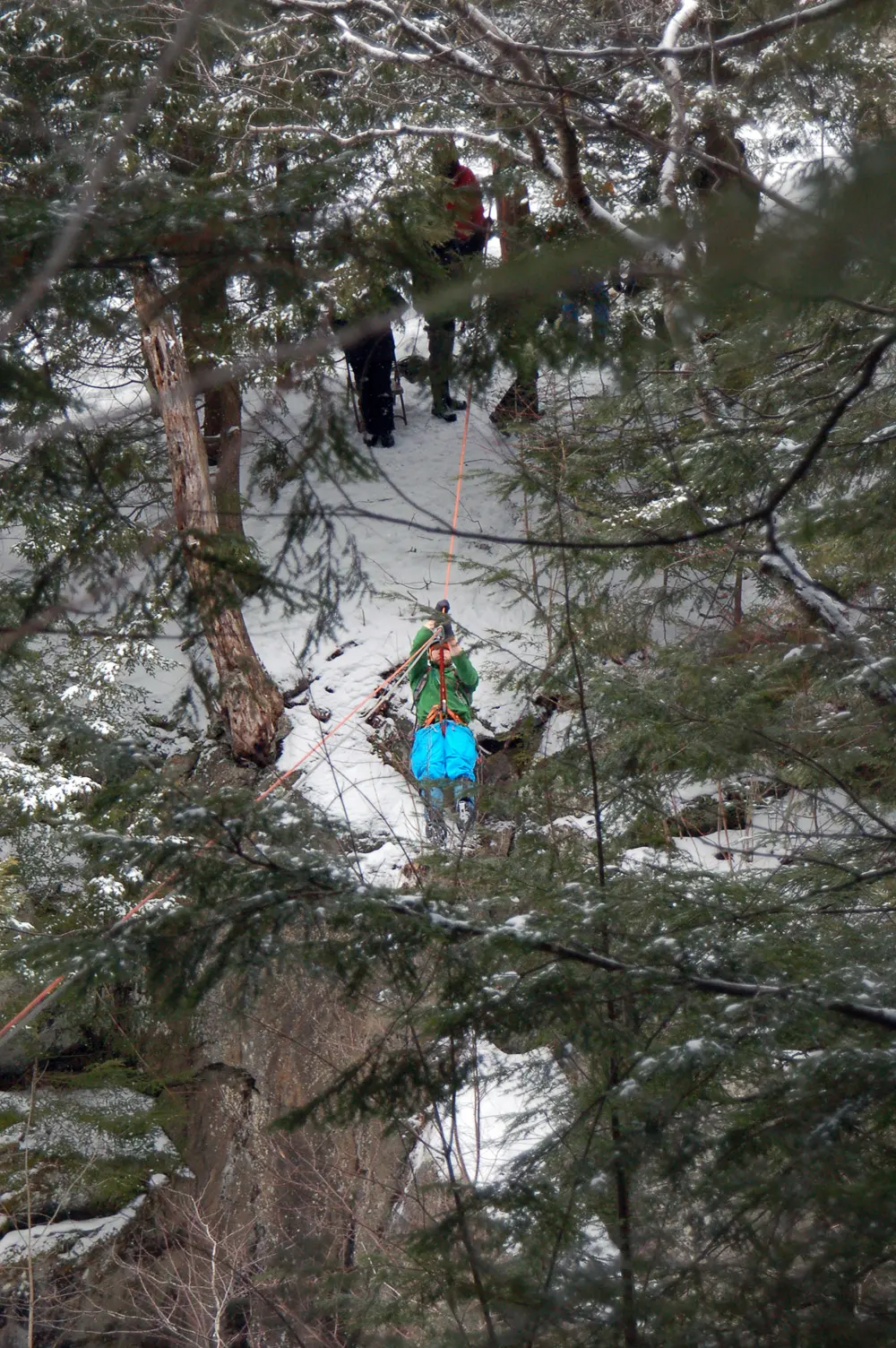
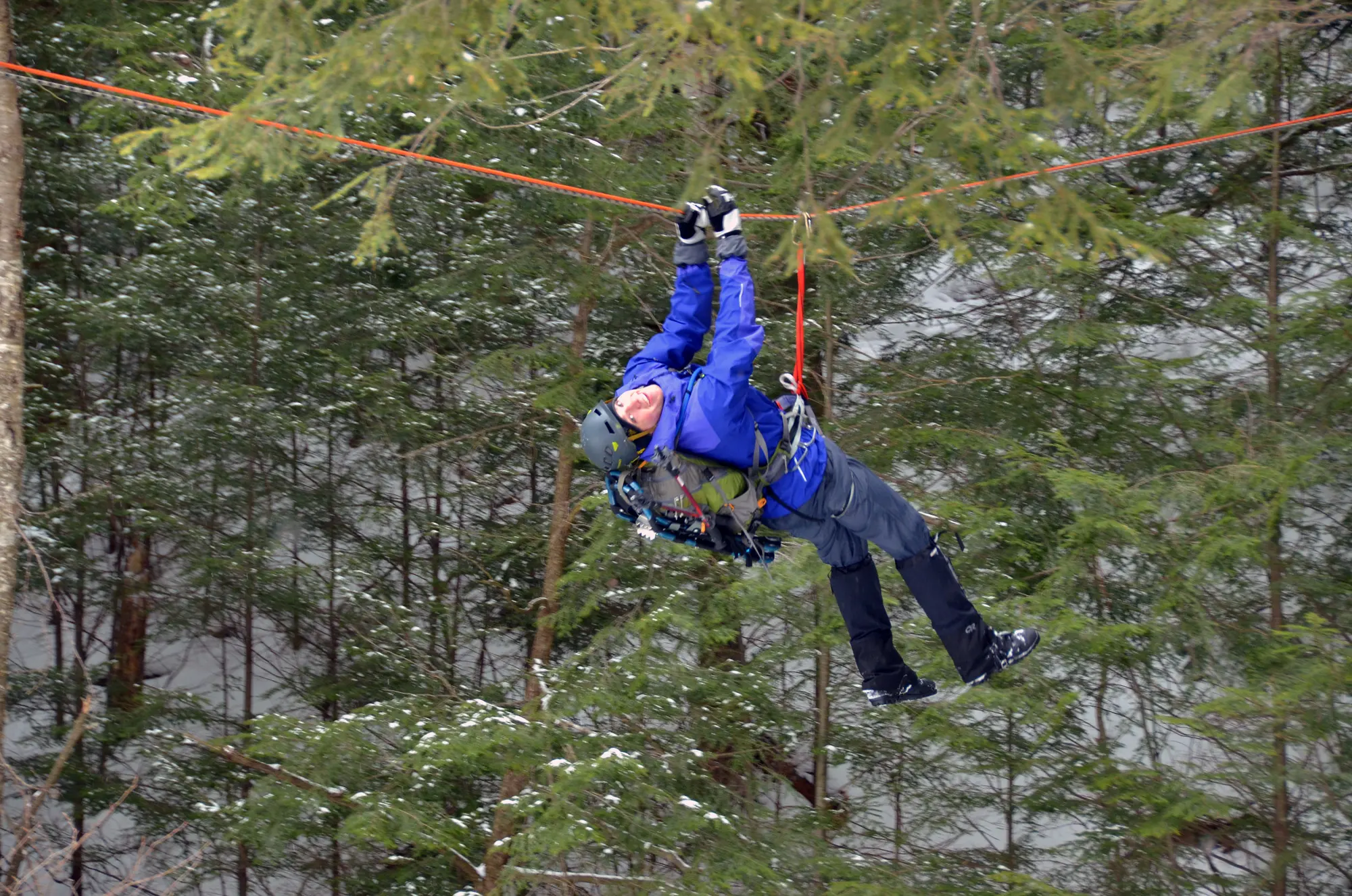
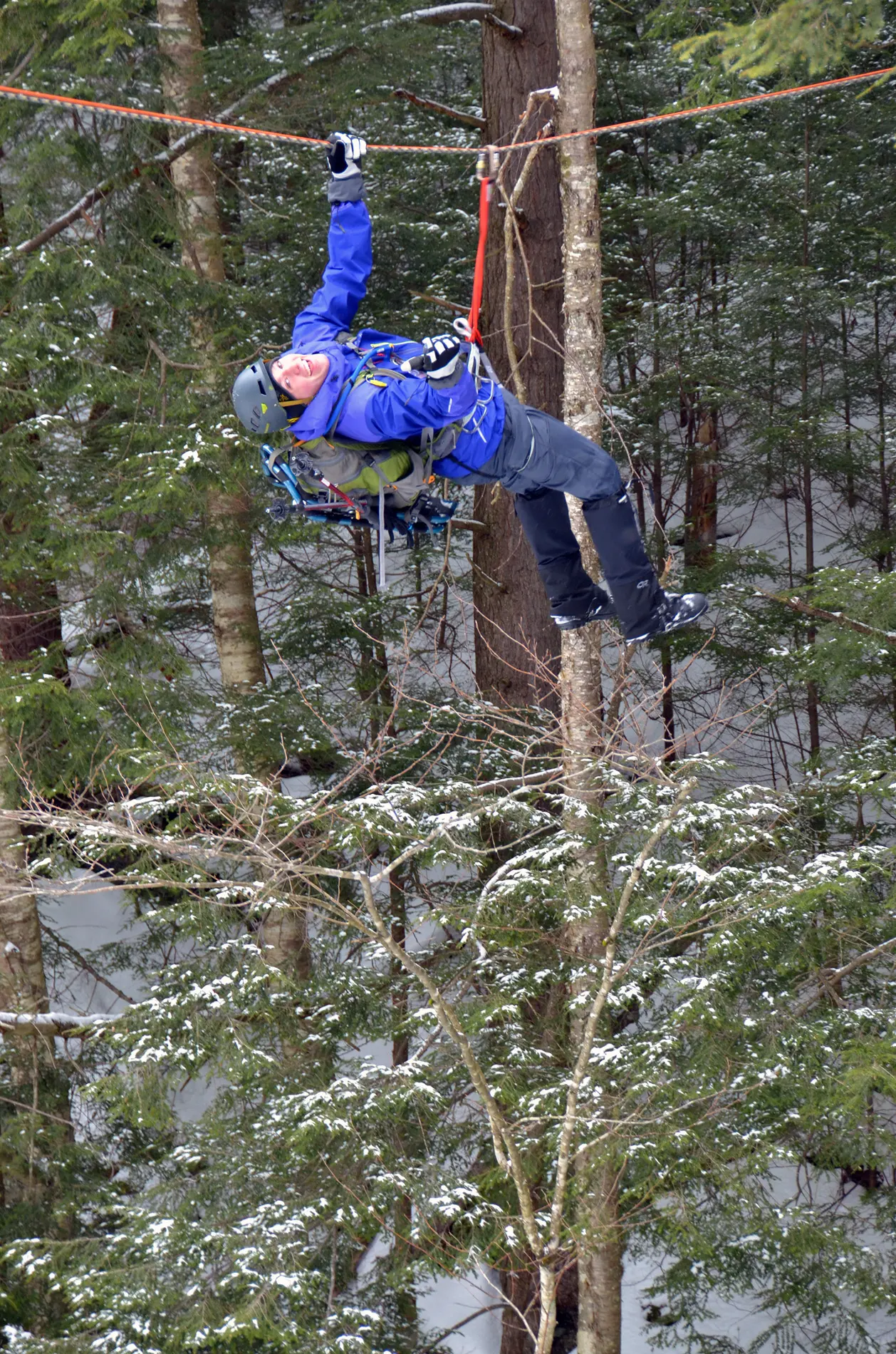
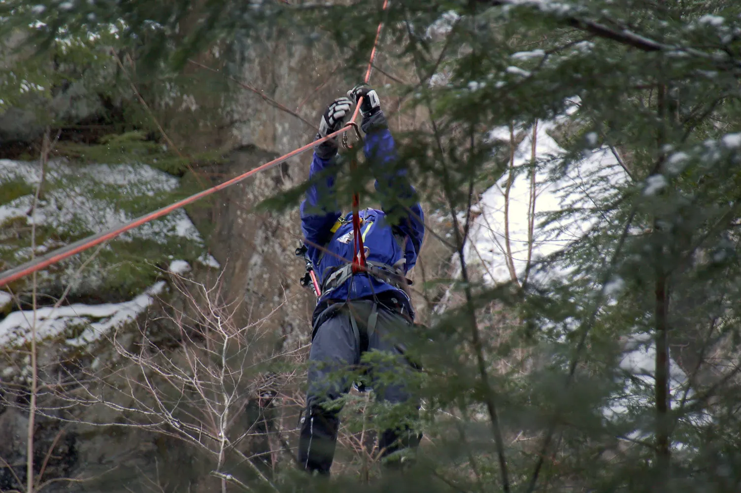
Once on the other side, we packed up the harnesses and post-holed about a quarter mile down river to TA5 where we would start the final leg of the race.
TA5 - Finish
The next leg was pretty simple, make it to the finish by 3:00pm (or start getting point deductions), while collecting CP13 - CP17, in order. Skis or snowshoes were acceptable forms of travel, but everything had to be carried. There were a number of teams that just looked defeated at this point, and opted to take a fairly easy path skiing directly back to the finish. However, we had plenty of time left so we opted to take a steep route up to a ridge west of us, then traverse the ridge to get CP13/14. There was absolutely no way we could ski up to the top of the ridge, and based on Erics humerous time on skis earlier, we opted to use snowshoes and carry the skis with us.
We climbed to the top of the ridge, and I don’t know how ANYONE could have possible done it on skis. It was a struggle just on snowshoes with the incline. Once we made the top of the ridge, it was a gradual uphill along the ridge which was one of the most beautiful hikes I’ve ever done. The snow was coming down a bit heavier, and we could see right across east of us to the other ridge which was covered in snowy trees. The ridge trail we were on rambled along a few frozen ponds through really gorgeous woodlands, and we were both pretty quiet on this last leg just taking it all in. I was completely sold at this point on the race, and would absolutely do a winter one again.
We hit CP13 and the CP14 with ease, and then swung along the Lower Maple Loop to Middle Maple Loop to CP15 which we had come across earlier. It was 2:30pm at this point, and we decided to bag CP16/17 since they involved a huge trek uphill, and head right back to the finish. We hauled it back along the Upper Maple Loop trail to Broadway, then right back to the finish where we crossed to applause at 2:50pm, perfect timing!
Post-race & Learnings
After the race we returned our gear and prepped for the awards dinner that was starting at 5:00pm at this very nice restaurant just down the road called The Ponds. They had all the pictures from the day already being shown on a giant projector screen, and they had tons of really delicious food and drink for everyone who raced. After getting my well earned post-race beer, they started announcing the top teams, and their stats were incredibly impressive.
We thought we did fantastic (by no means did we think we won), by hitting all the TAs, on time, and collecting 13/17 CPs. The winning team not only cleared the course, but they also managed to snag a bonus checkpoint AND cross the finish line before 1pm. INSANE! We enjoyed the rest of the dinner and chatted with the racers at our table, and with the owners of Petra Cliffs who were next to us, and then took off for the night. You bet we’ll be back next year to tackle the course again!
Here’s what we learned this time around:
- Correctly taking Endurolytes works, I didn’t have a single issue this entire race.
- Trust in our nav skills, don’t follow pre-broken trail. It may seem easier at the time, but really, those teams may not have had any clue where they were going. Everytime we broke our own trail and just trusted our compass, we were spot on.
- Eric - learn to ski (haha)